Geodesy team

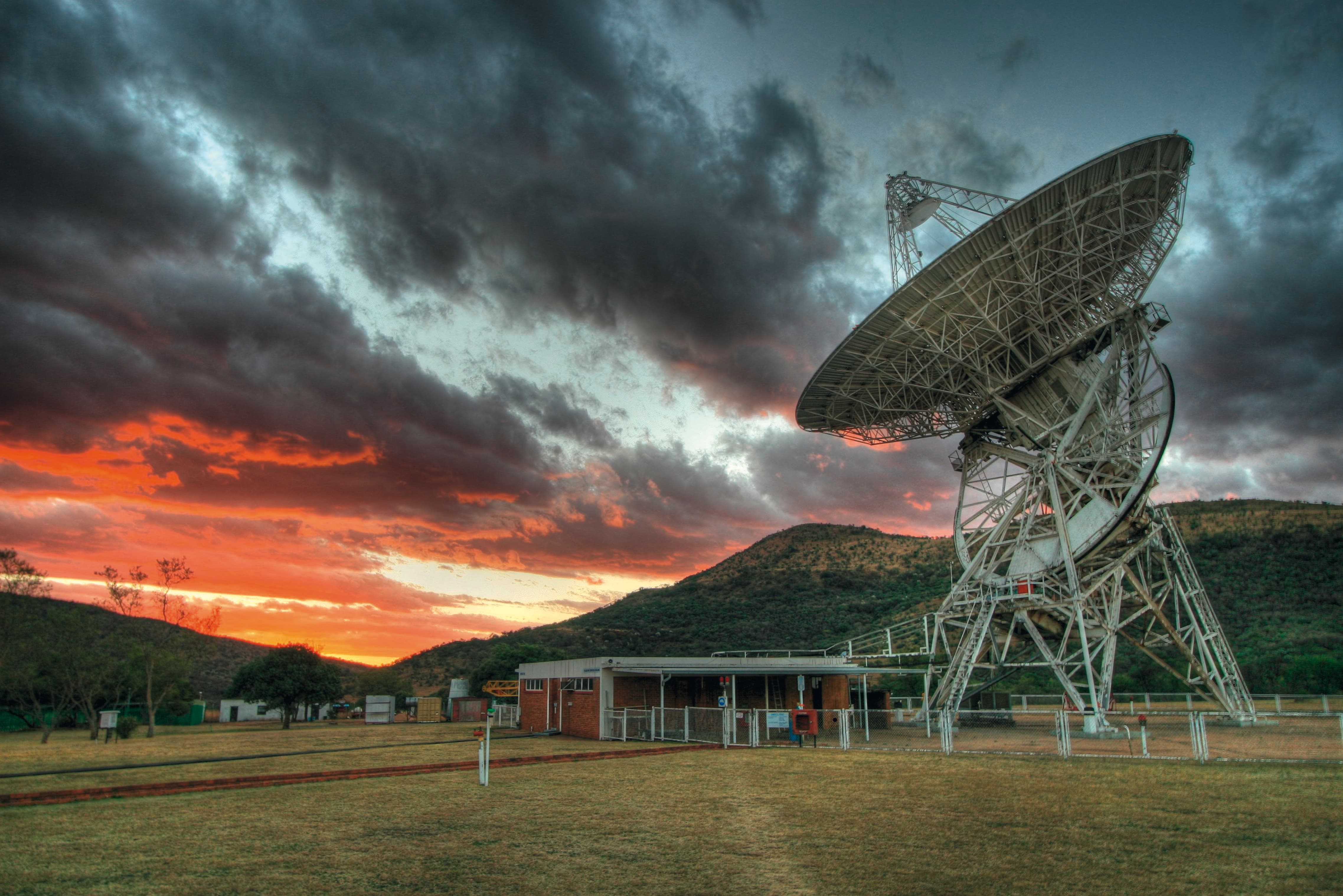
Antenne radio astronomique

Geodesy is the study of the shape of the Earth, the calculation of its dimensions and the measurement of its gravitational field. It therefore determines the precise shape of the Earth, known as the ‘geoid’.

High-precision geodesy makes it possible to observe a wide range of Earth deformation processes, from the surface to the depths of the core. It feeds into the IGN's work of determining geometric and altimetric references. It also makes the Institute a major player in the establishment of global geodetic references. This role contributes to France's international influence.

This research supports national scientific efforts to quantify climate change. This involves, for example, monitoring the deformations of the Earth's crust due to variations in seasonal hydrological load or the melting of the ice caps. Estimating the water vapour content of the atmosphere is also made possible by disrupting the signal from satellite positioning systems (the best known of which is GPS).

The work is carried out by a joint IGN/Institut de physique du globe de Paris team of around 25 people, including 14 permanent researchers. The team is based at the University of Paris-Cité in Paris.